
Projects
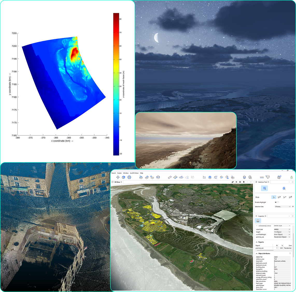
The Future Environments Lab utilise a range of instruments, software, methods and modelling approaches to deliver bespoke solutions for the natural and built environment. The lab delivers highly technical, focused work mixed with collaborative co-design.
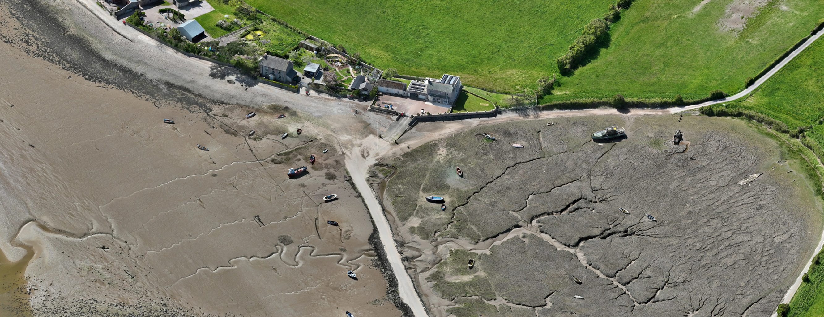
This includes, but is not limited to, drone-based sensing, remote sensing, computer vision, numerical modelling, prototype interfaces, visualizations and pipelines. The lab also utilises a range of participatory co-design practices and analytical tools to engage audiences and stakeholders.
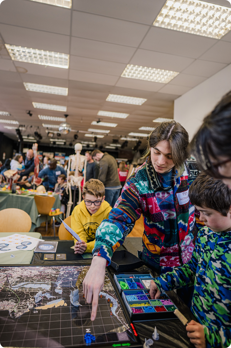
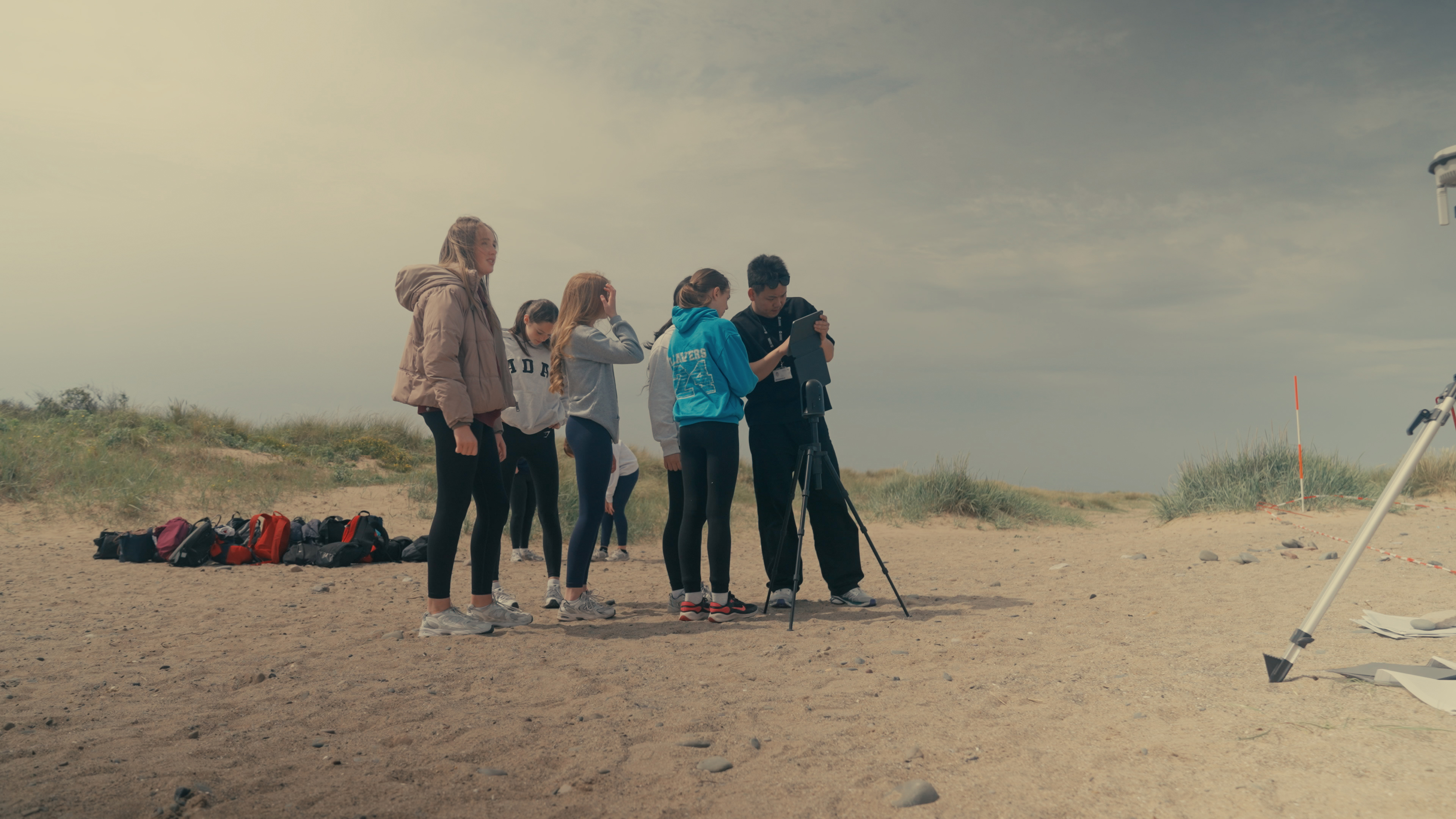
We involve all communities, schools, and community groups, from young people to active ageing, right from the start of our research, delivering engagement, fieldwork, and iterative modelling, co-designing and co-producing work.
Projects
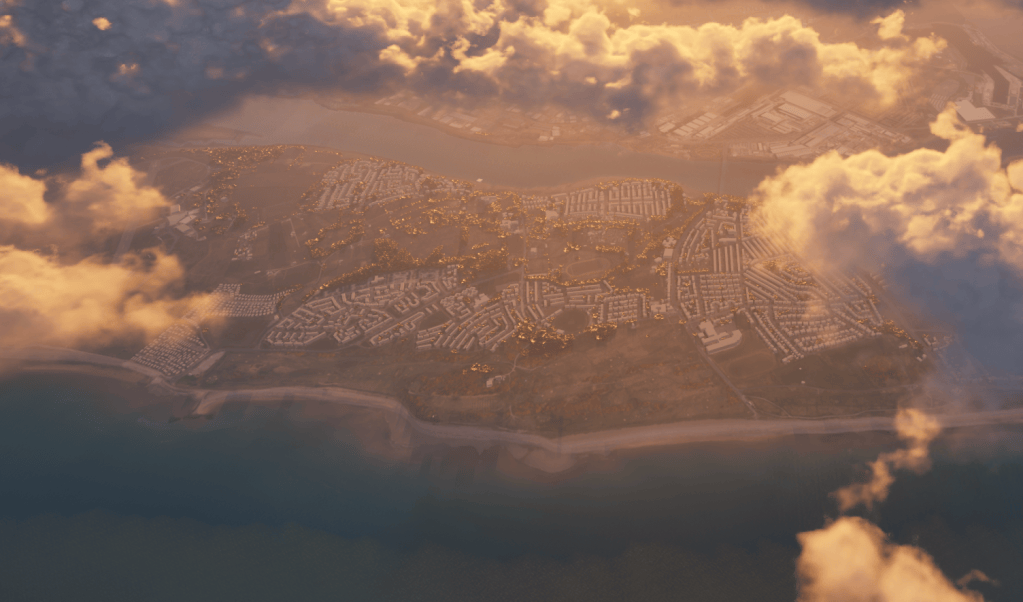
MAGE – A Serious Game Simulating Coastal Futures using numerical models and participatory methods. Funded by Our Future Coast, Environment Agency.
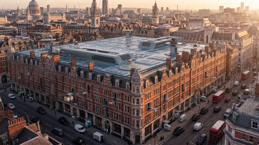
Drones in Planning – Practice Notes and Workshop toolkit for the Royal Town Planning Institute (RTPI) with Anna Jackman, University of Reading. Funded by the British Academy.
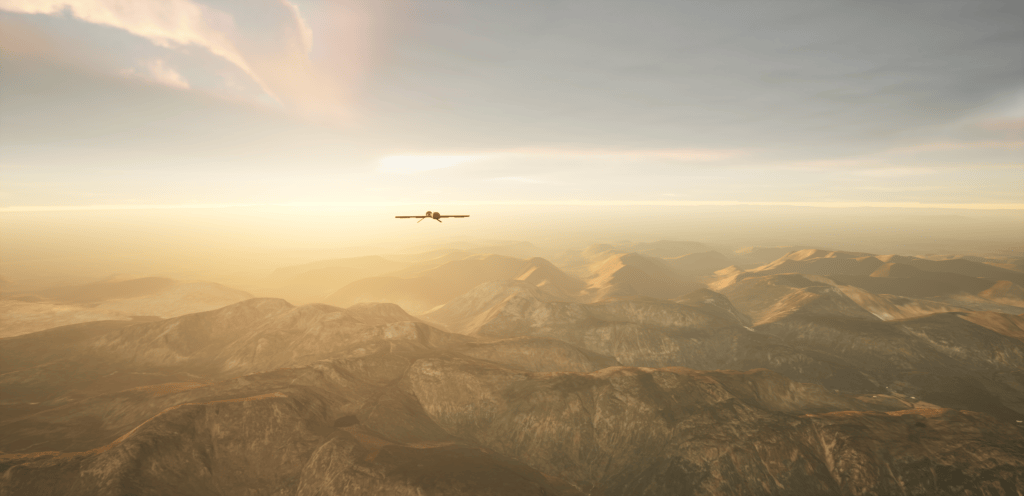
Drone Logi – Drone logistics simulation prototype in Unreal Engine. Geographic Information and procedural terrain experiment (Unreal Games Development).
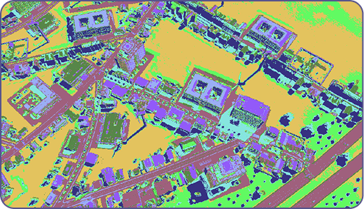
Geogames for real-world urban planning, a game-based approach to planning community consultation.
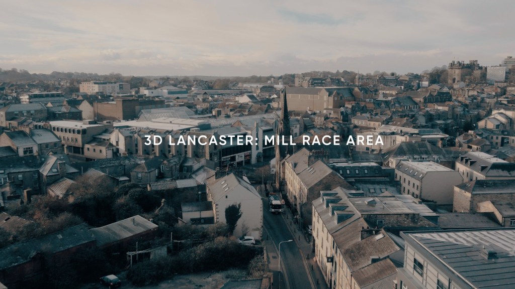
3D Lancaster: Mill Race – a digital modelling, participatory planning practice approach for Local Authorities funded by the Ministry of Housing, Communities and Local Government (MHCLG).
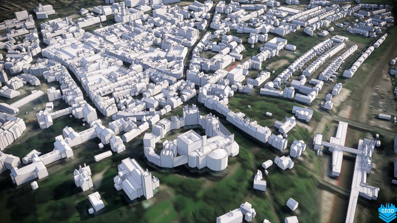
Lancaster City Information Model – A CIM approach for Local Authorities as a precursor for digital twin development. Delivered with GD3D, funded by UKRI, ESRC.
Outcomes and Cases (Open Source)
- Morecambe Area Gaming Environment (MAGE)- Serious gaming for complex coastal management decision making, Cureton P., Brown, E., 2026, https://research.lancaster-university.uk/en/publications/morecambe-area-gaming-environment-mage-serious-gaming-for-complex-2/
- MAGE, a Tabletop Game for Coastal Futures, Cureton P., 2026, https://research.lancaster-university.uk/en/publications/mage-a-serious-game-for-coastal-futures/
- MAGE Mini, a Serious Game for Coastal futures (KS3 Geography), Cureton, P., 2026, https://research.lancaster-university.uk/en/publications/mage-mini-a-serious-game-for-coastal-futures/
- Little Book of Digital Planning, Cureton P., Brown, E., 2025, https://research.lancaster-university.uk/en/publications/little-book-of-digital-planning/
- Lancaster City Information Model (LCIM), Cureton P., Hartley, E., 2019, https://research.lancaster-university.uk/en/datasets/lancaster-city-information-model-lcim/
Co-Design Workshop Tools (Open Source)
- Cureton, P., Jackman, A., RTPI Drones in Planning Toolkit, 2026. Figma. https://www.figma.com/community/file/1673690730124996051/rtpi-planning-and-drones-toolkit
- Cureton, P., Societal Impacts of Digital Twins Toolkit, 2025. Figma. https://www.figma.com/community/file/1522554687083580071/dtnet-digital-twins-societal-impacts
- Cureton, P., PlanDeck: A card deck for planning future spaces, 2024, Figma. https://www.figma.com/community/file/1414999110762923901/plandeck
- Cureton, P., Geodesign: a Collaborative Framework, 2023, Figma. https://www.figma.com/community/file/1253768043463157544/geodesign-a-collaborative-framework
- Cureton, P., He, L., Geodesign: a Collaborative Framework, 2023, Figma. Chinese Language Verision. https://www.figma.com/community/file/1294306373604826190/geodesign-a-collaborative-framework-chinese-version?q_id=884a0f1d-72a3-43a6-87bc-6eac1329832a
 Future Environments Lab